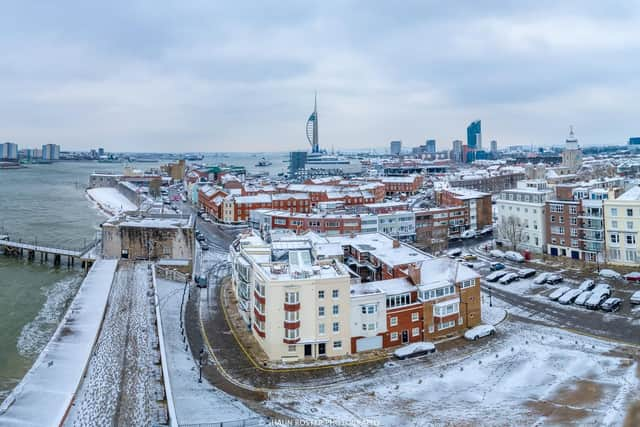
Sleet showers forecast for Portsmouth as Met Office issue snow warning for Hampshire


The Met Office has issued the alert over the weekend and it is in place from 9pm on Tuesday until 12pm (noon) on Wednesday.
In the weather warning, the forecasters have said: ‘Snow, possibly heavy at times, developing overnight Tuesday and into Wednesday.
Advertisement
Hide AdAdvertisement
Hide Ad‘There is a small chance of travel delays on roads with some stranded vehicles and passengers, along with delayed or cancelled rail and air travel.
‘There is a slight chance that some rural communities could become cut off.
‘There is a small chance that power cuts will occur and other services, such as mobile phone coverage, may be affected.’
The Met Office have also said that accumulations of 1-3 cm are likely quite widely, with accumulations of 5 cm in places.
Advertisement
Hide AdAdvertisement
Hide AdThere is a small chance that some areas could see up to 10 cm, more especially over the higher ground.
But will we see snow in Portsmouth and the surrounding area?
The Met Office’s weather warning does not include our city currently.
With the forecast for the next couple days being cloudy tomorrow and sunshine on Wednesday.
Advertisement
Hide AdAdvertisement
Hide AdHowever there is a chance we will still see wintry showers on Tuesday night, with sleet being forecast from 9pm to 11pm and again between 12am and 3am on Wednesday.
It will also remain bitterly cold with lows of -2C forecast on Wednesday.
The picture is the same in Havant, Waterlooville, Gosport and Fareham – with low temperatures and chance of sleet showers in the late hours of Tuesday night.
While our area is not included in the weather warning, other parts of Hampshire have been.
Advertisement
Hide AdAdvertisement
Hide AdWith heavy snow forecast in Basingstoke on Tuesday night, as well as in Petersfield, Andover, Winchester and East Meon.
We will be bringing you the latest updates on the weather and any potential disruption caused by it over the next couple of days.